Surveying and Reality Capture for BIM
Accurate field measurements and imagery are critical to the development of every construction project.
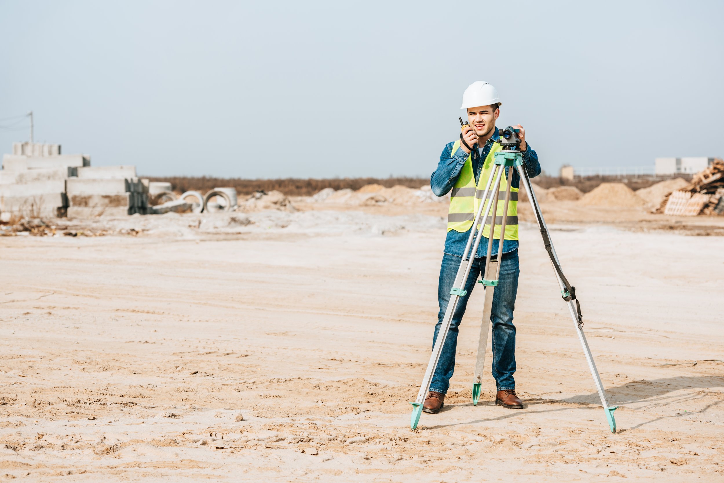
BIM can be integrated with Land, Topographical, Cadastral, Engineering and Hydrographic Surveys. Each survey type has its own use case, and the output can be utilized through CAD and BIM technologies to recreate the digital twin of existing conditions. Often required, this data will be extremely useful in the development of an accurate BIM project.
Laser Scan Survey to BIM Conversions
Laser Scan Benefits
Sub-mm Accuracy
Point-Cloud BIM Integrations
Manpower Reduction
Improved Site Safety
Reduce Project Uncertainty
Capture Large Areas Quickly
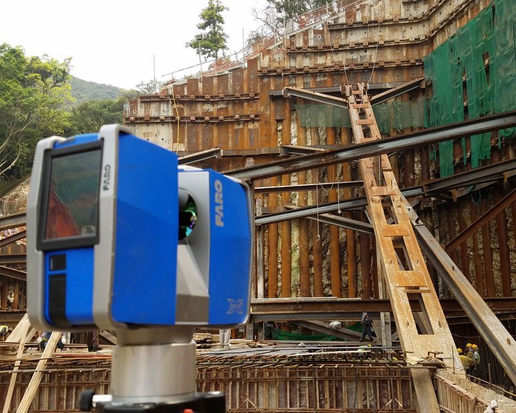
The latest innovation in survey technology is to use a mounted laser scanning device to quickly capture large amounts of survey data and digitally reconstruct the data using millions of points into what is called a point cloud. This point cloud can be imported into different CAD and BIM softwares and converted into lines and objects to create a highly accurate model or drawing from the data.
Traditional Survey to BIM Conversions
Terrestrial scanning uses a ground-based or tripod-mounted light radar to create high resolution 3D images of surfaces and objects. LiDAR measures a scanned object by emitting laser pulses and recording the subsequent intensity of their return when reflected off it. Scanning can be performed over kilometres with sub-centimetre precision. Terrestrial scanning is commonly used for heritage documentation, 3D topographical surveys, accident sites, confined spaces survey and MEP (Mechanical, Electrical and Plumbing) models.
Utilizing traditional survey datum points, we seamlessly recreate surveys and generate precise 2D or 3D geometry within Autodesk Revit or AutoCAD.

Drone Photogrammetry and Visualization
Drones provide a cost-effective value proposition on new and existing projects.
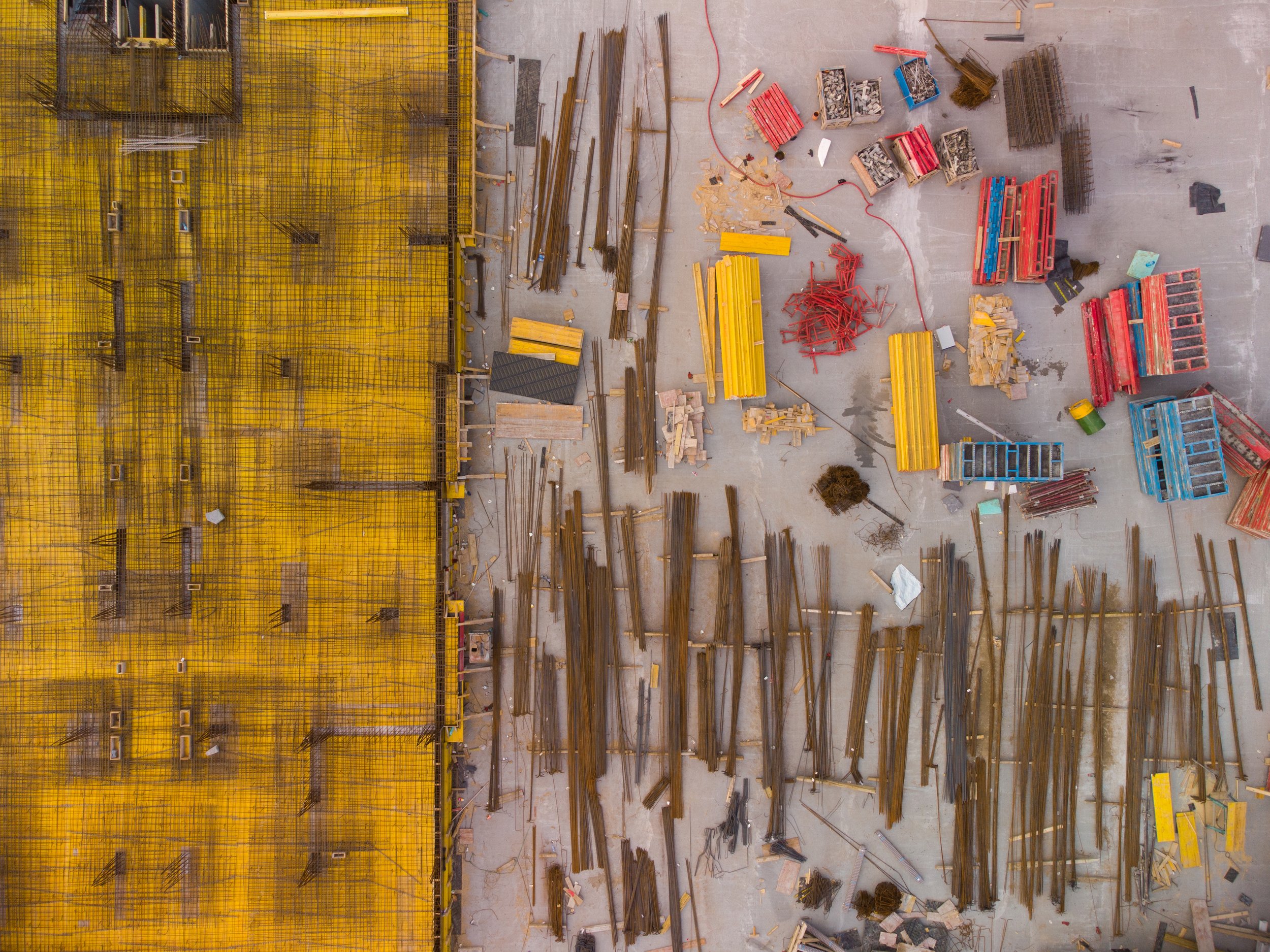
Drones capture aerial photo and video quickly and safely. These datasets can be used to track progress, construct models and create stunning photography of your project.
Photogrammetry
By taking many photos of an object or scene from multiple viewpoints. We can generate a 3D mesh model from the photographs to a reasonable level of accuracy.
Aerial Photographs and Video
Drones provide a unique vantage point to create compelling images of your project or construction progress. They are also used in the study and investigation of areas which are hard-to-reach or unsafe for purposes such as maintenance and inspections.


